
Welcome to OpenSkiesNav, the Electronic Flight Bag for every pilot.

One Subscription. Any Device.
Seamlessly transition from on the ground preflight planning on your laptop to in-flight navigation on your tablet. A single subscription works across all platforms.
Currently Available
- Android App
- PWA for Windows, macOS, Linux, etc
- Use directly in most web browsers
iOS Coming Soon
Fast. Reliable. Anywhere.
Our high resolution vector charts offer a fluid, lag-free experience that keeps up with you real-time.
Download the charts ahead of time for offline use. OpenSkiesNav can pinpoint your location even in signal dead zones.
Learn more

Terrain Awareness
Real-time terrain alerts allow you to know now exactly where you are relative to the rocks and the airspace.
Vertical profile views make it easy to choose the best altitude ahead of time.
Learn more
Everything You Need, On One Screen
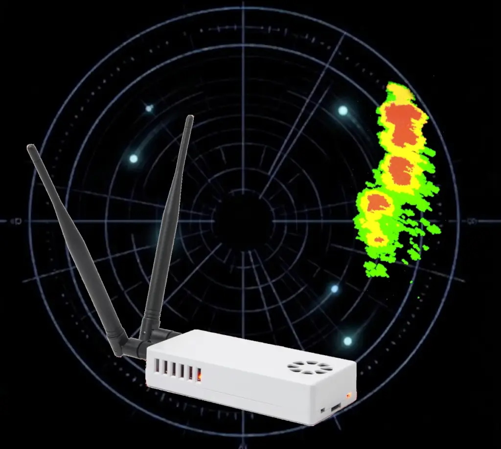
- Satellite and Radar Weather Overlays
- ADS-B Integration for Stratux
- IFR Approach Procedures
Explore more features of OpenSkiesNav.

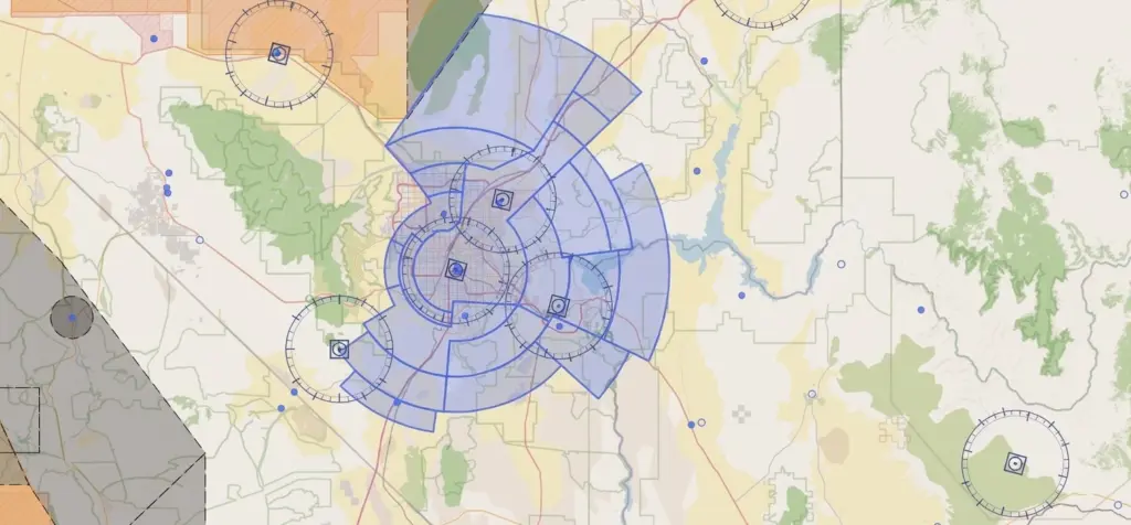
Fly Locally for Free
Free tier offers everything you need to fly VFR within 250 nm of your home airport.
Perfect for students and short flights.
Easily upgrade to IFR or nationwide access at any time.
Compare plans to see full details of what’s included in each subscription.
Designed by Pilots, for Pilots
OpenSkiesNav was imagined, designed, and built by a commercial multi-engine IFR pilot. We love flying. And we know that every pilot deserves the same quality features at a reasonable price, regardless of Operating System.